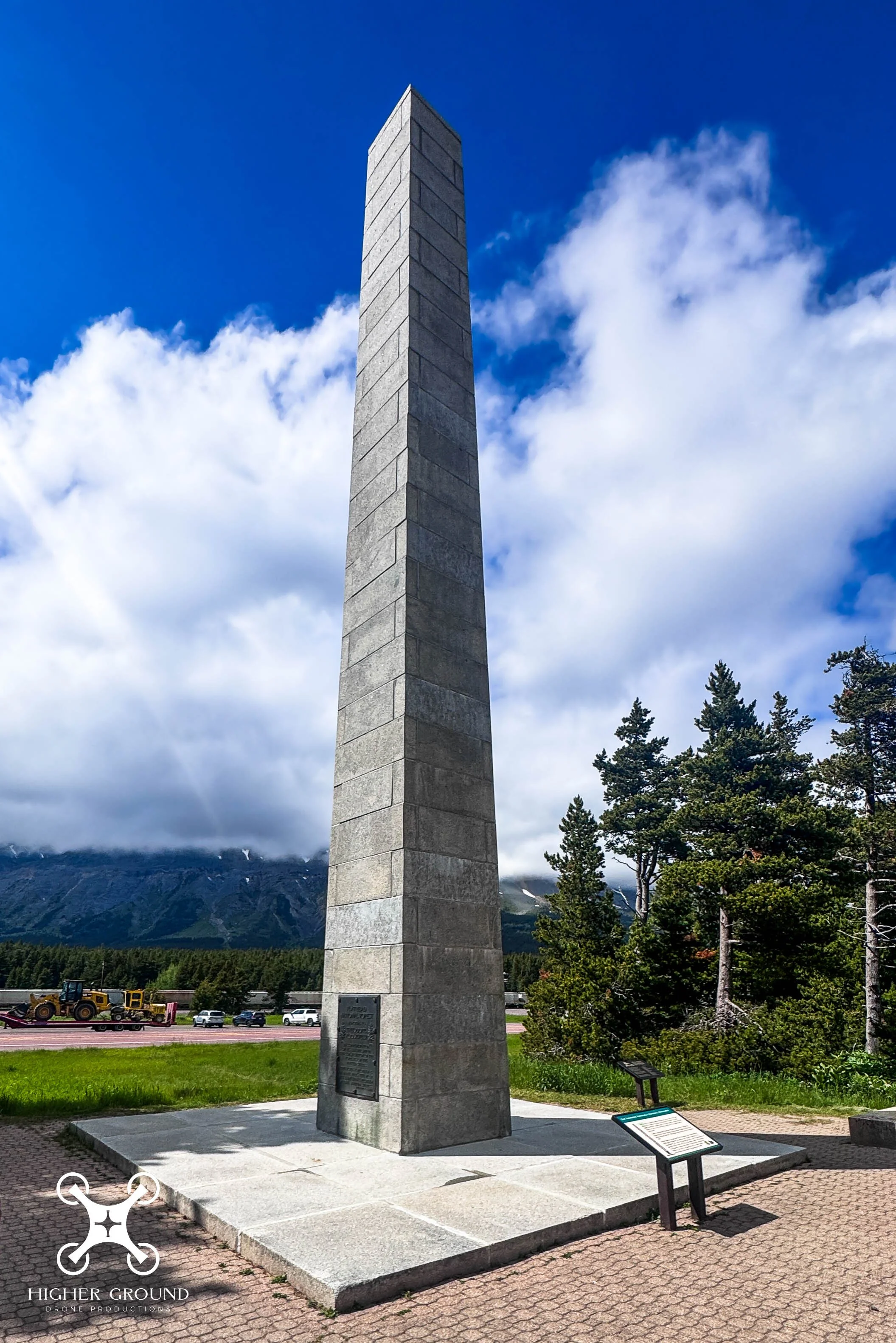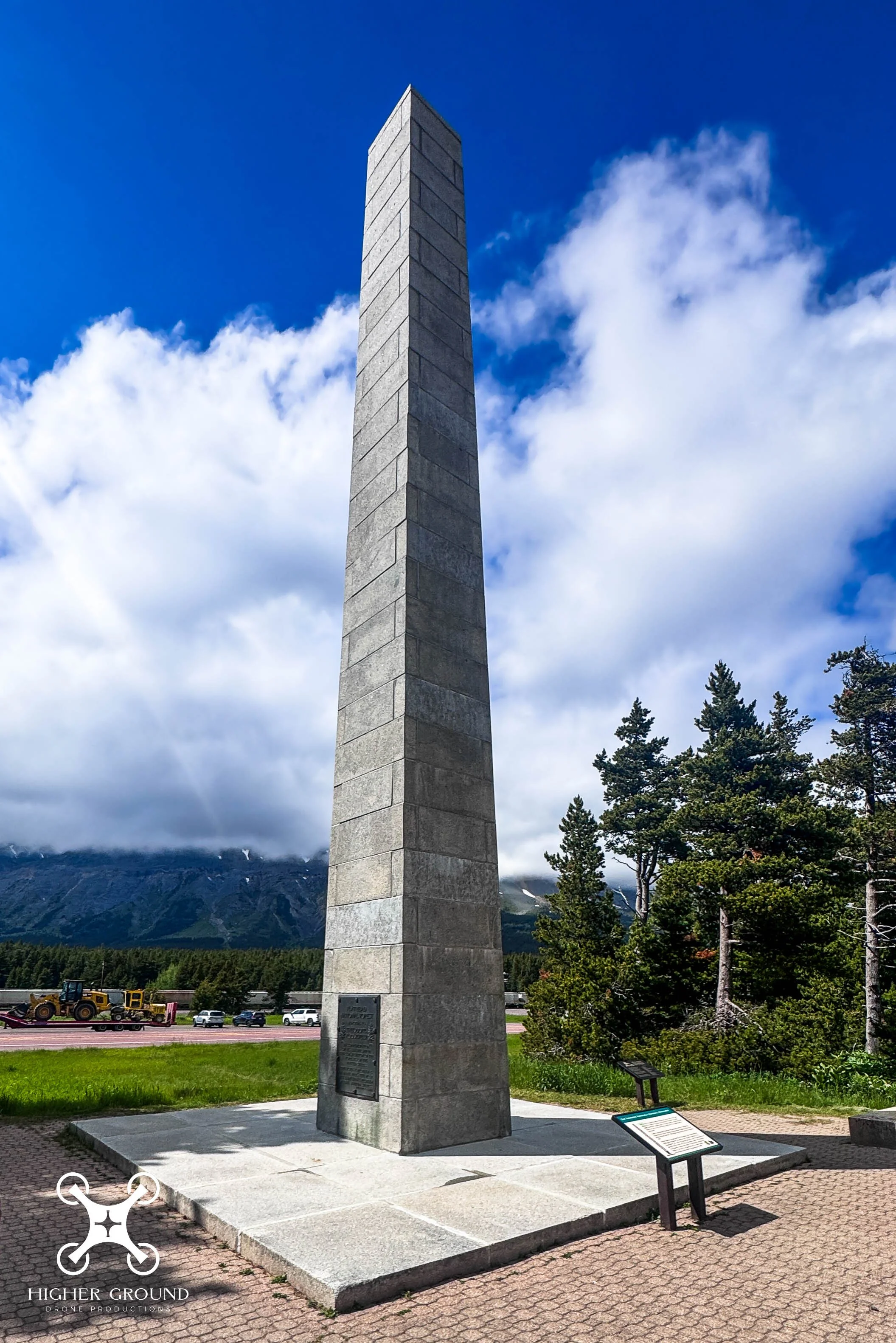
Marias Pass Obelisk is a stone memorial at the summit of Marias Pass on U.S. Highway 2 near East Glacier Park, Montana.
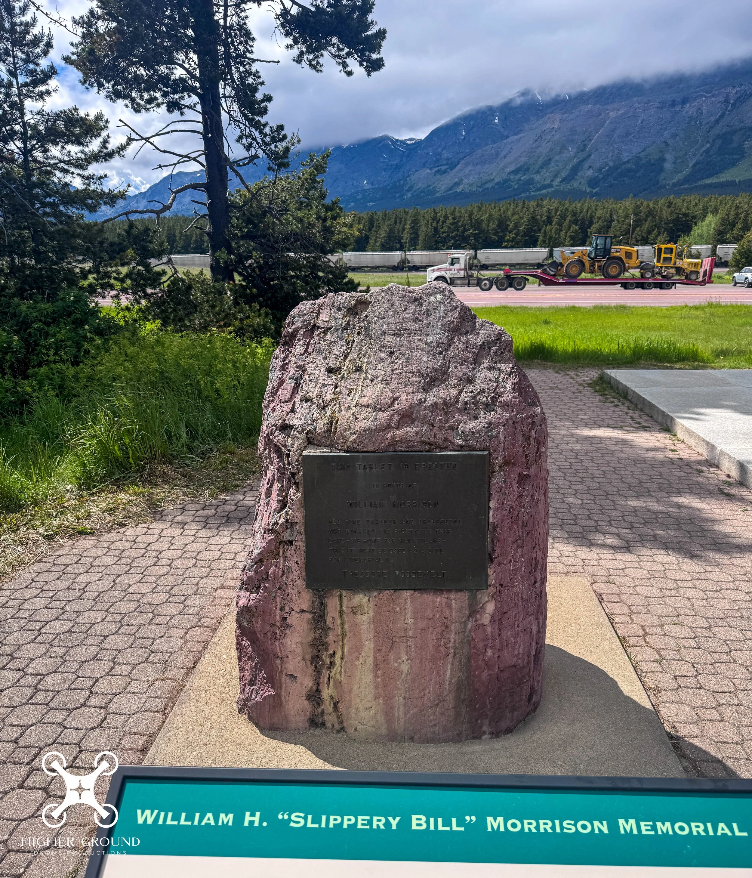
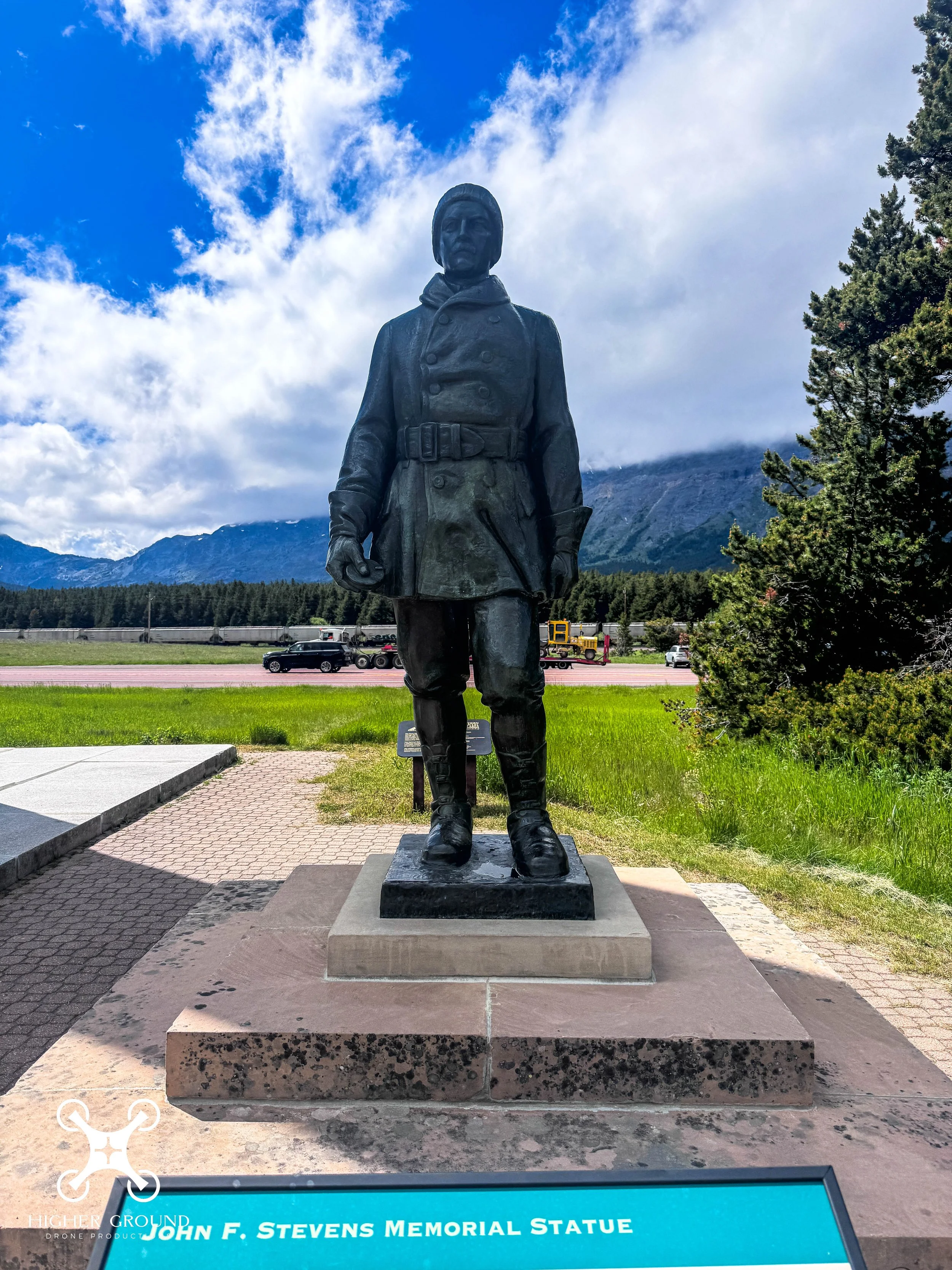
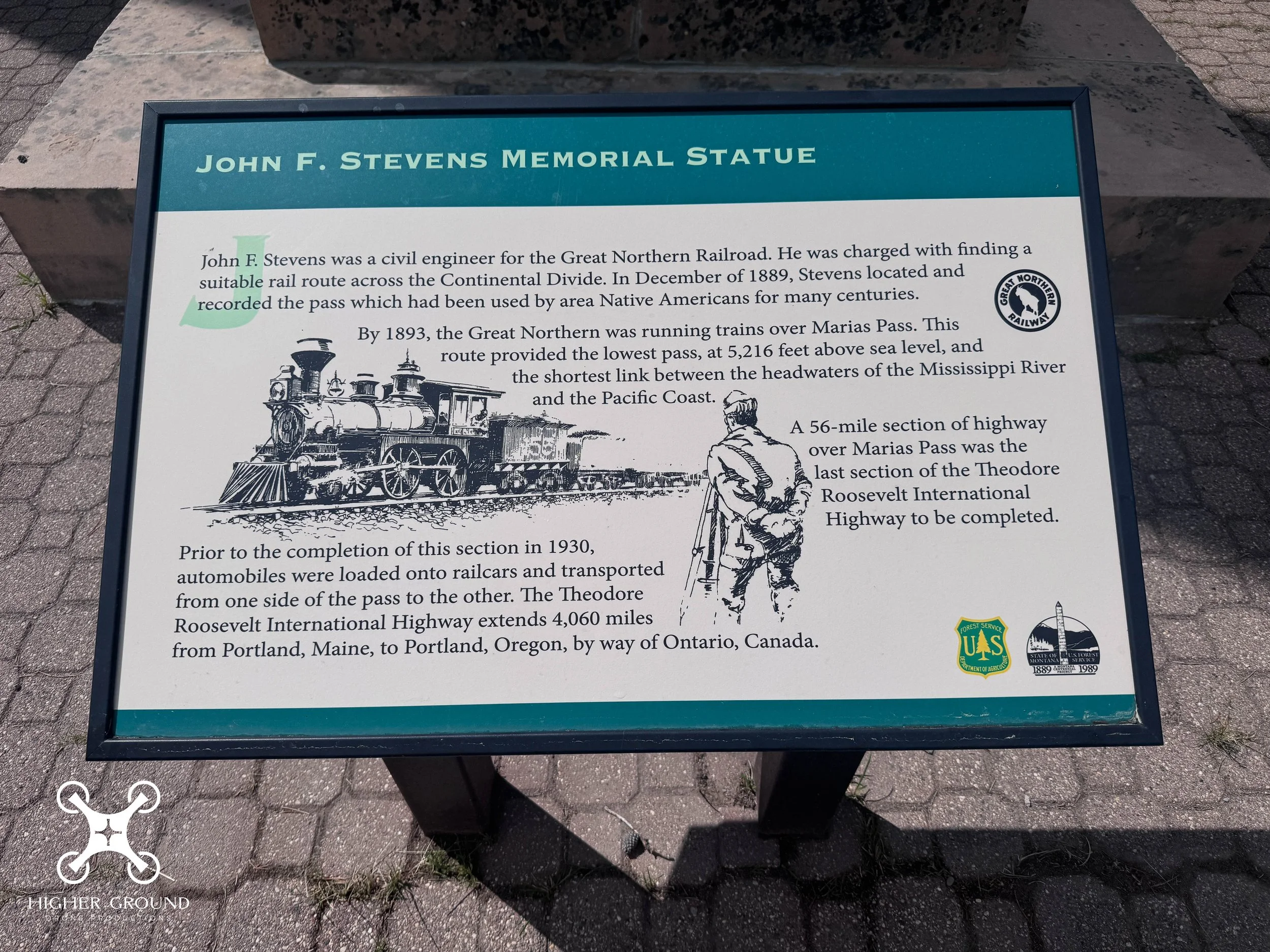
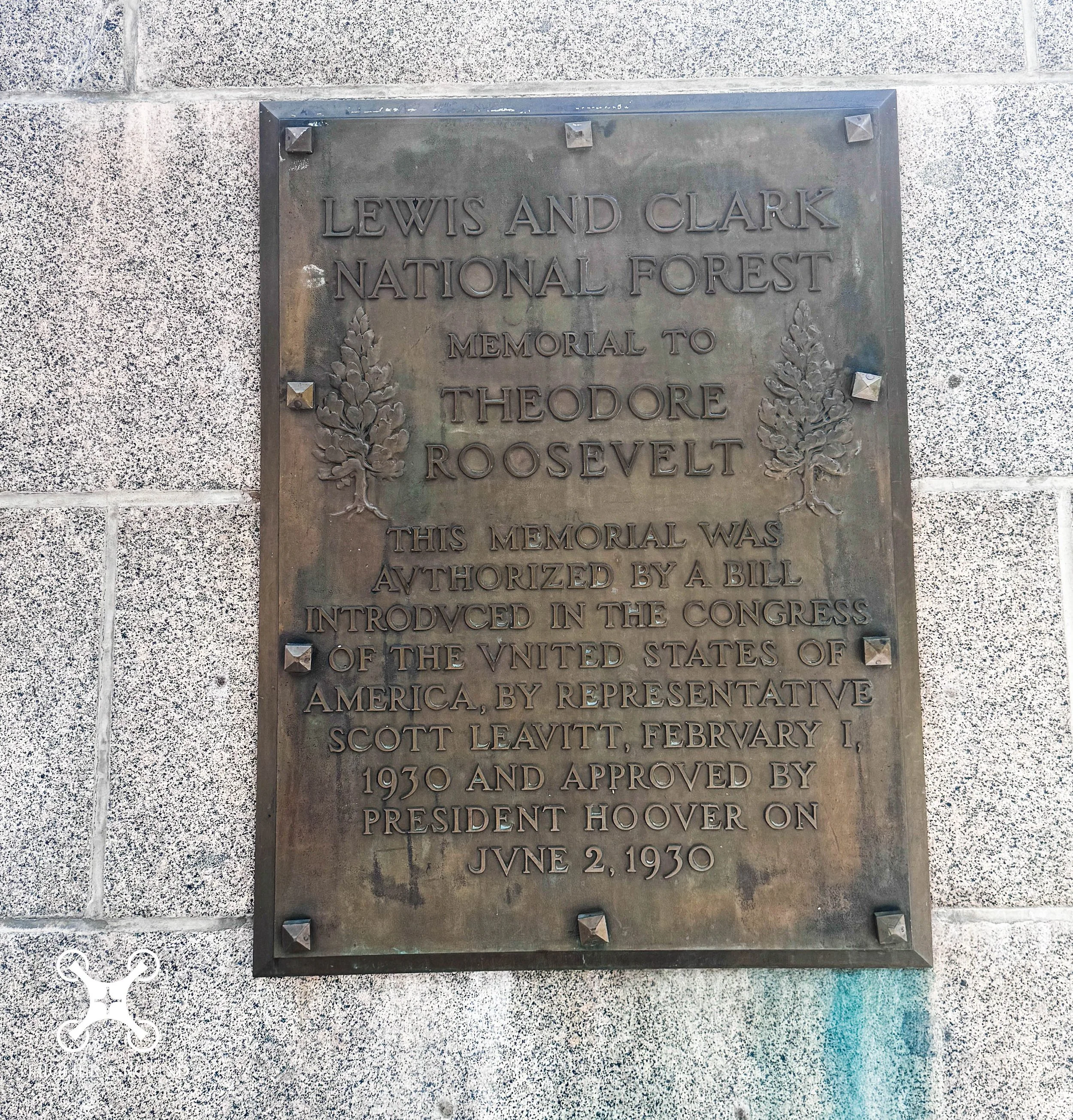
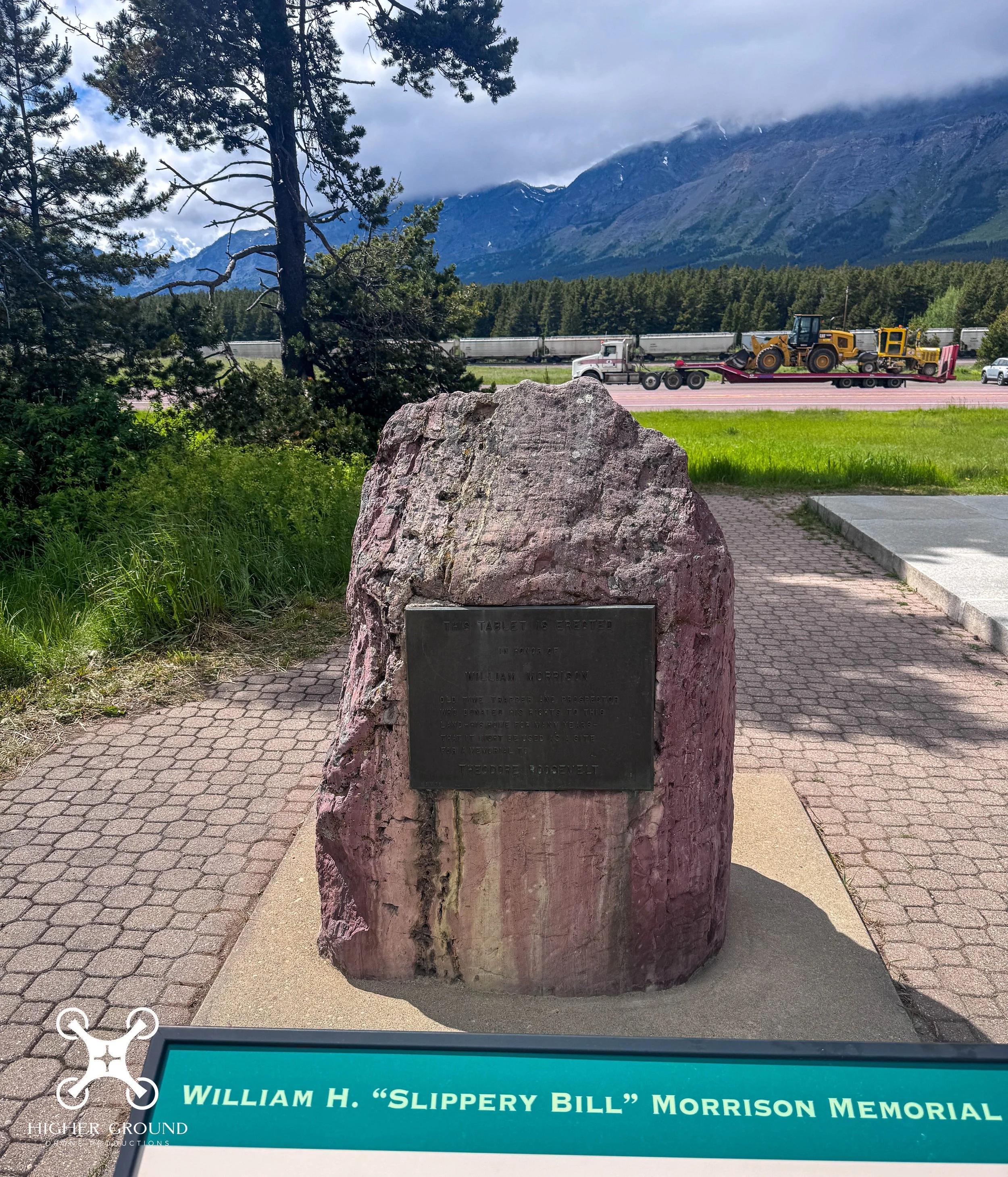
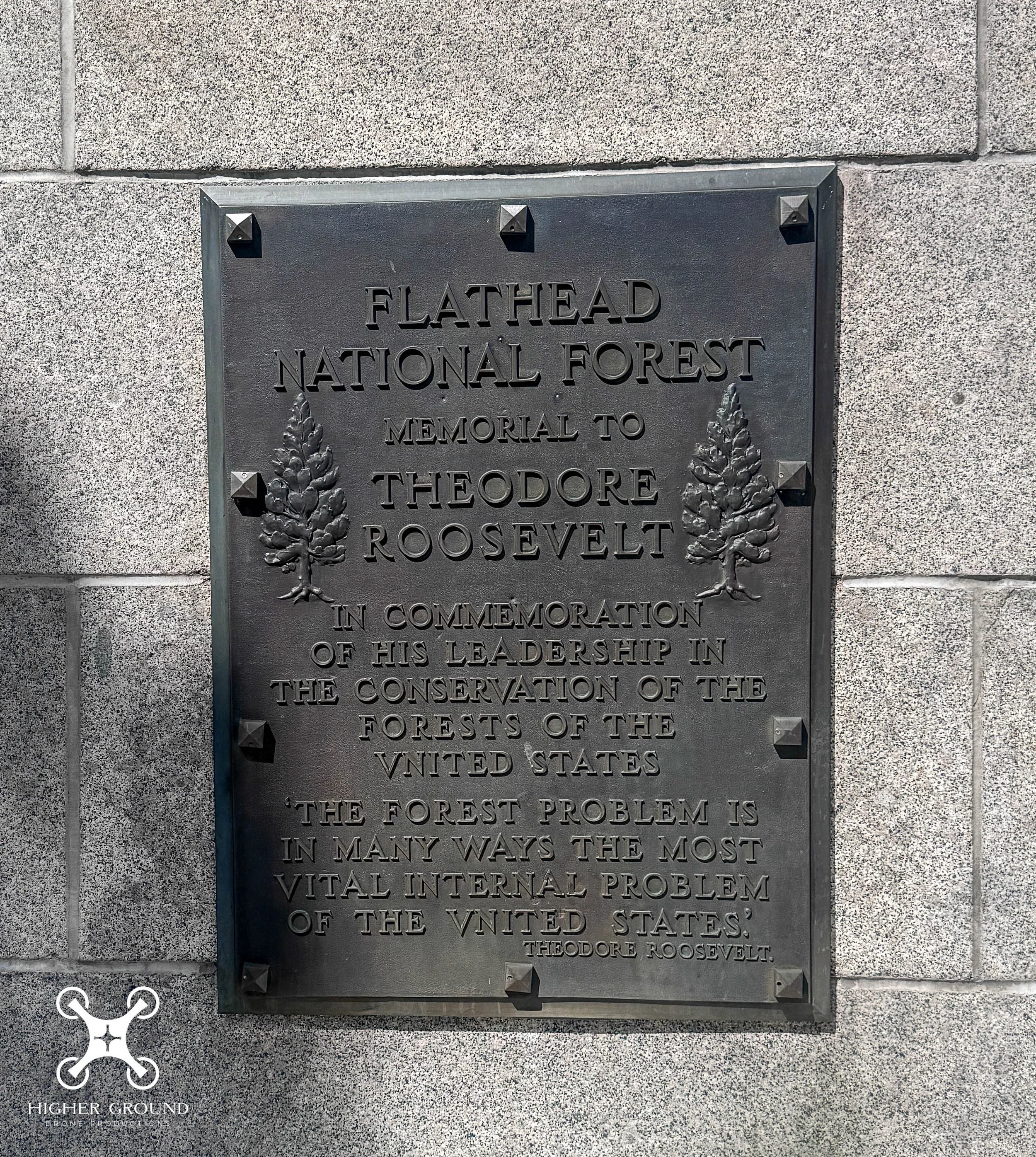
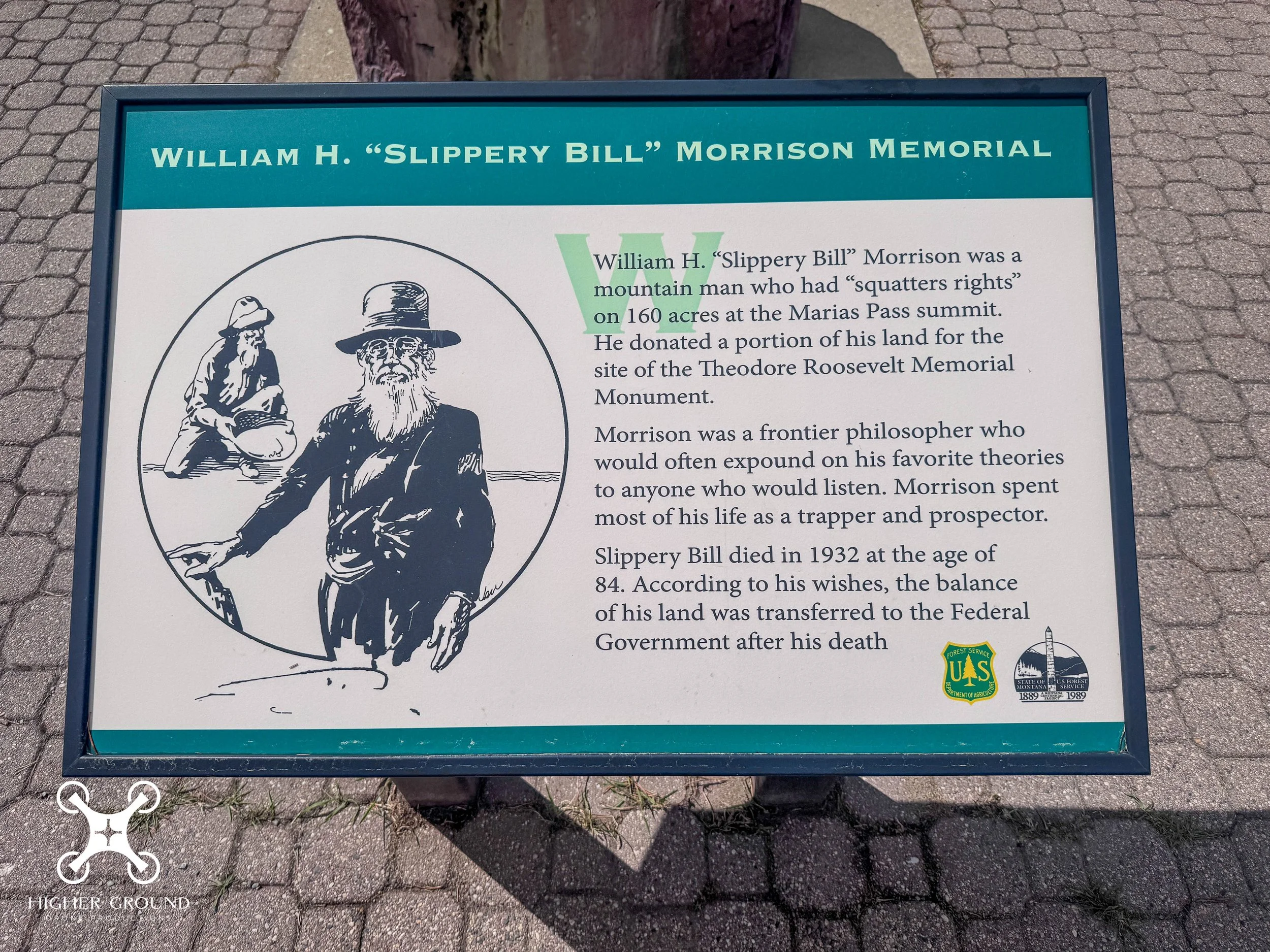
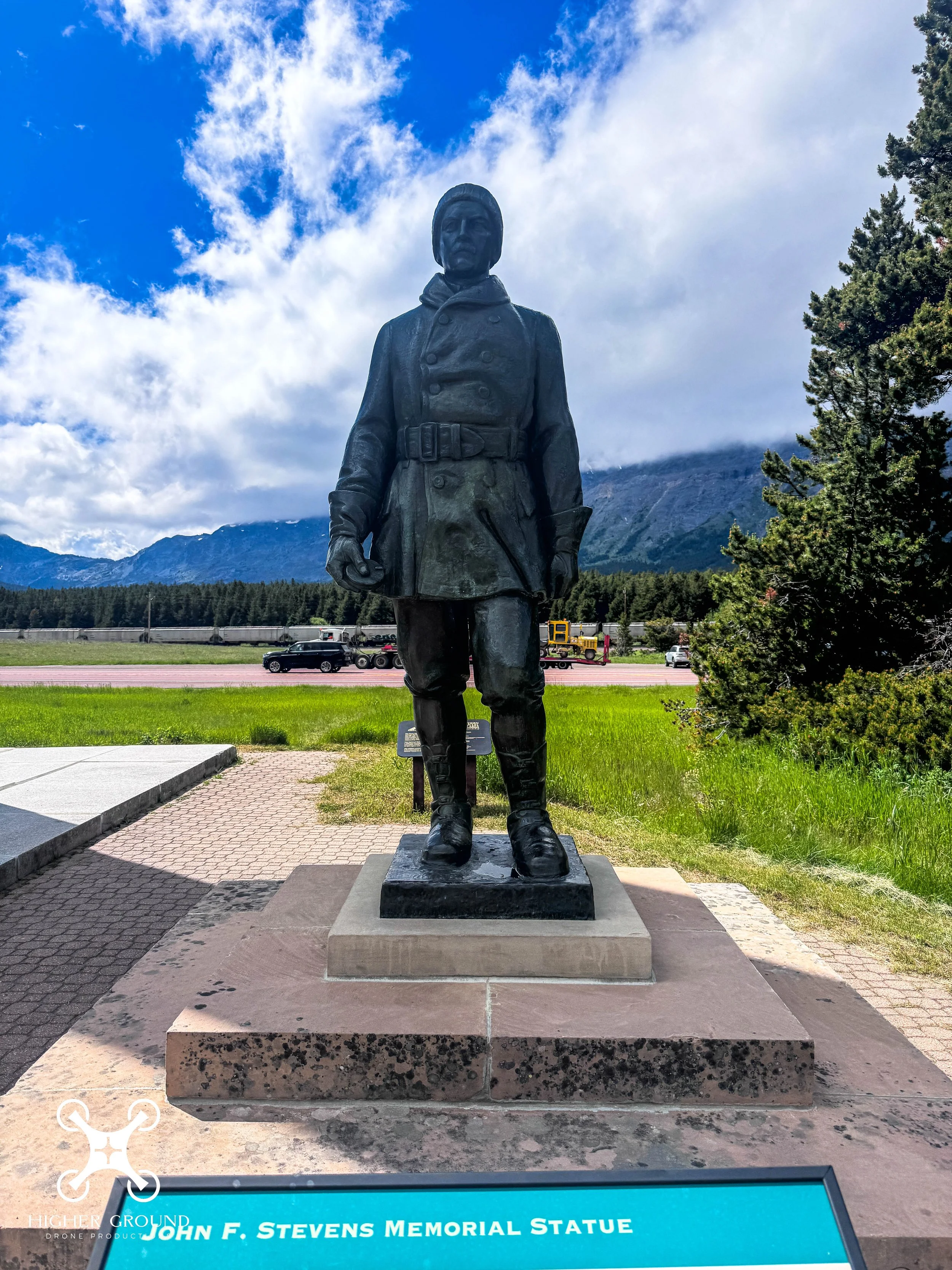
Authorized by Congress in 1930 as a memorial to Theodore Roosevelt, the granite obelisk honors his conservation leadership and bears an inscription quoting him. The wayside also includes a 1925 statue of railroad engineer John F. Stevens and a tablet noting trapper William Morison's land donation. Visitors commonly make a short roadside stop to read the markers and view the Continental Divide and the adjacent rail corridor.
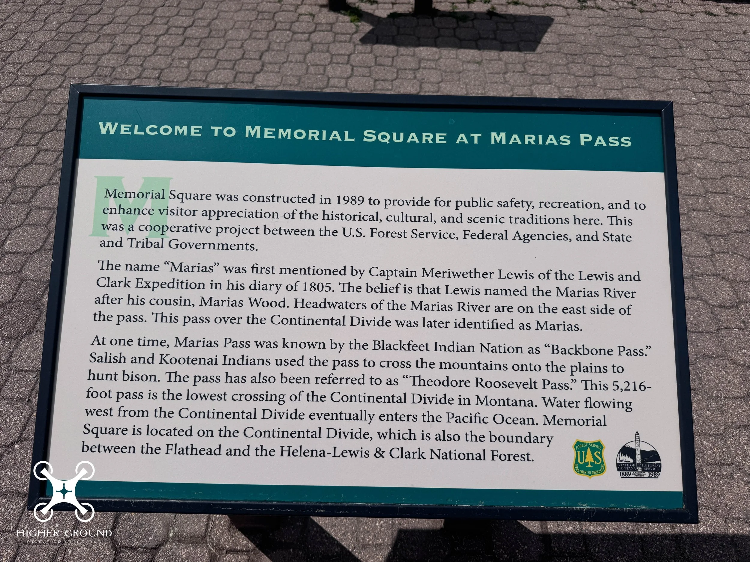
Memorial Square was constructed in 1989 to provide for public safety, recreation, and to enhance visitor appreciation of the historical, cultural, and scenic traditions here. This was a cooperative project between the U.S. Forest Service, Federal Agencies, and State and Tribal Governments.
The name "Marias" was first mentioned by Captain Meriwether Lewis of the Lewis and Clark Expedition in his diary of 1805. The belief is that Lewis named the Marias River after his cousin, Marias Wood. Headwaters of the Marias River are on the east side of the pass. This pass over the Continental Divide was later identified as Marias.
At one time, Marias Pass was known by the Blackfeet Indian Nation as "Backbone Pass" Salish and Kootenai Indians used the pass to cross the mountains onto the plains to hunt bison. The pass has also been referred to as "Theodore Roosevelt Pass" This 5,216-foot pass is the lowest crossing of the Continental Divide in Montana. Water flowing west from the Continental Divide eventually enters the Pacific Ocean. Memorial Square is located on the Continental Divide, which is also the boundary between the Flathead and the Helena-Lewis & Clark National Forest.
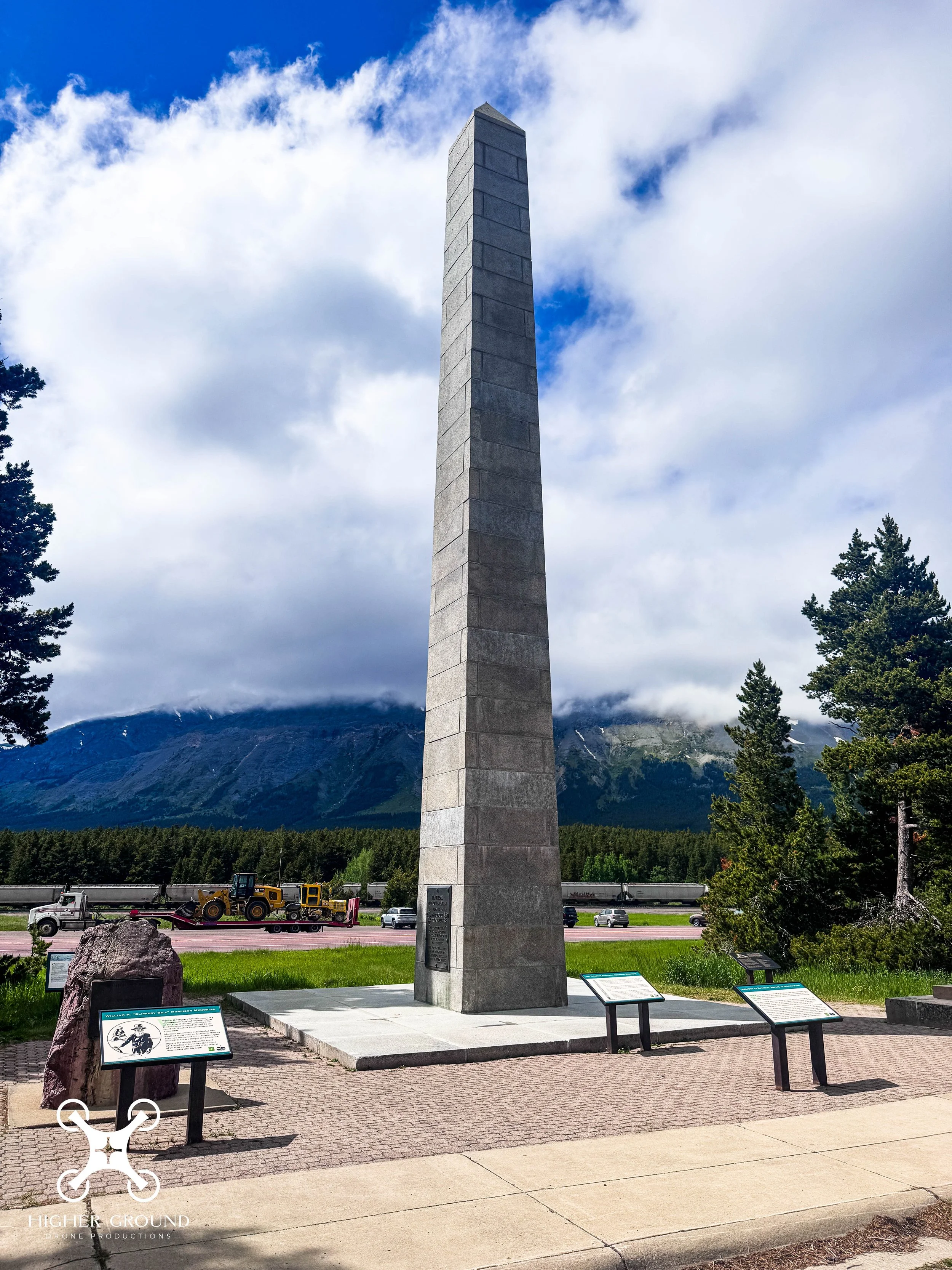
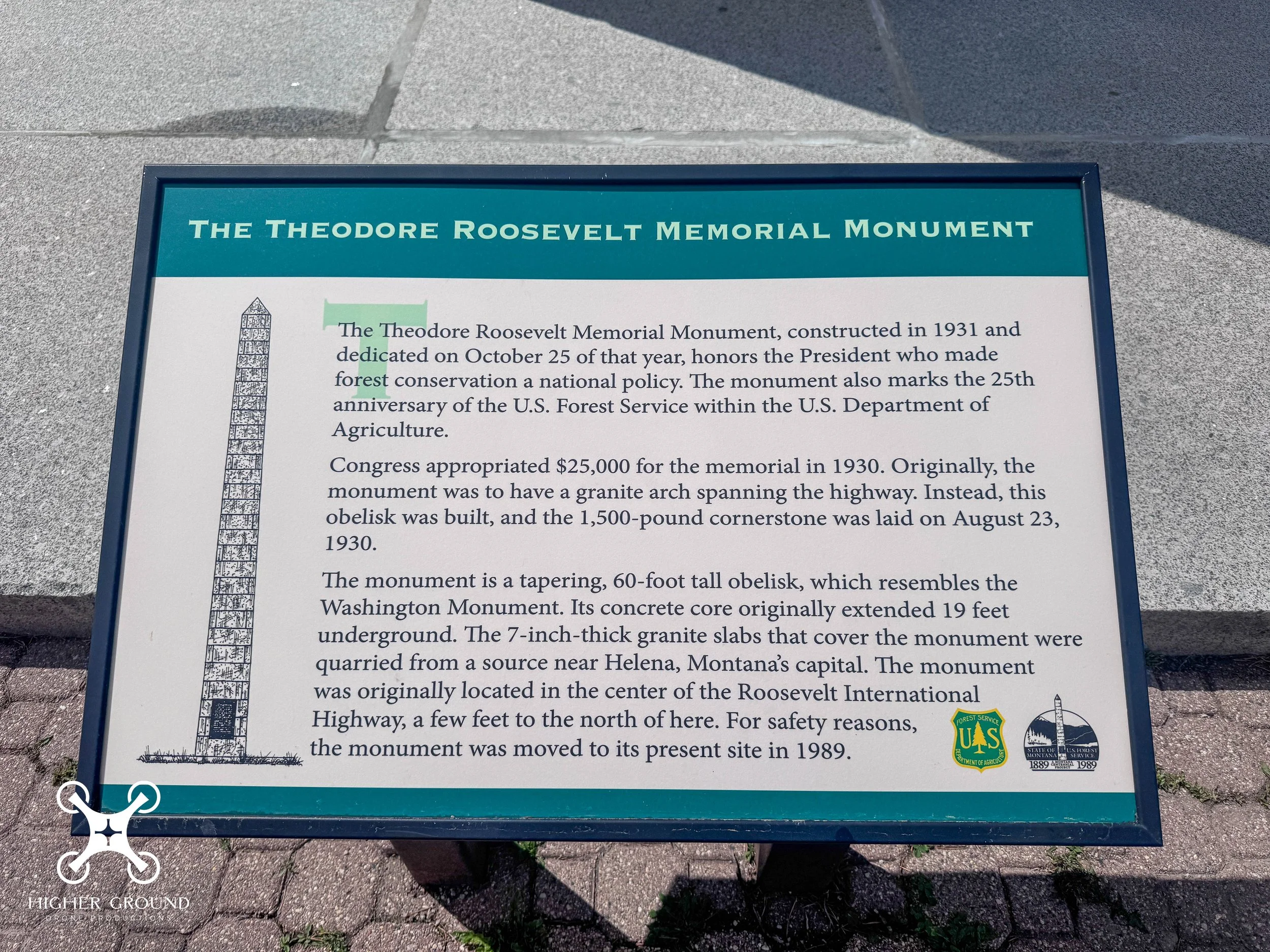
The Theodore Roosevelt Memorial Monument, constructed in 1931 and dedicated on October 25 of that year, honors the President who made forest conservation a national policy. The monument also marks the 25th anniversary of the U.S. Forest Service within the U.S. Department of Agriculture.
Congress appropriated $25,000 for the memorial in 1930. Originally, the monument was to have a granite arch spanning the highway. Instead, this obelisk was built, and the 1,500-pound cornerstone was laid on August 23, 1930.
The monument is a tapering, 60-foot tall obelisk, which resembles the Washington Monument. Its concrete core originally extended 19 feet underground. The 7-inch-thick granite slabs that cover the monument were quarried from a source near Helena, Montana's capital. The monument was originally located in the center of the Roosevelt International Highway, a few feet to the north of here. For safety reasons, the monument was moved to its present site in 1989.